Percorsi MTB
 English
 Italiano
 Deutsch
Descrizione del percorso
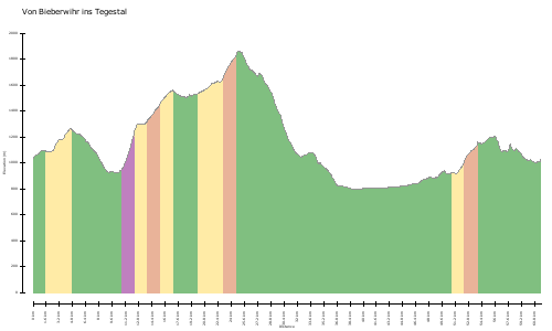
gleiche Tour nur auf 500Punkte geglättet -> Hm Unterschied!?
http://www.gps-tour.info/en/tracks/detail.53537.html
same tour smoothed only on 500Dots - & gt; Hm difference !?
http://www.gps-tour.info/en/tracks/detail.53537.html
Mappa/Altimetria
Immagini