MTB Touren
 English
 Italiano
 Deutsch
Routenbeschreibung
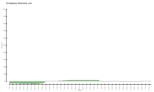
Het is een kleine ronde door de bossen van recreactiegebied De Berendonck wat tussen Wijchen en Nijmegen ligt. Enige nadeel van deze route is dat er een stuk over de weg is om bij de Skiberg te komen waar nog een leuk stuk van de route verder gaat.
http://www.gps-tour.info/en/tracks/detail.119571.html
It is a small round through the forests of recreactiegebied The Berendonck which lies between Wijchen and Nijmegen. Only downside of this route is that there is a lot on the road to get to where even goes a nice part of the route. The ski mountain
http://www.gps-tour.info/en/tracks/detail.119571.html
Karte/Höhenprofil
Bilder