MTB Touren
 English
 Italiano
 Deutsch
Routenbeschreibung
Opgenomen vanaf Hoorn.Photos: See all pictures and videos from Mountainbiken Terschelling
Recorded from Hoorn.Photos: See all pictures and videos from VTT Terschelling
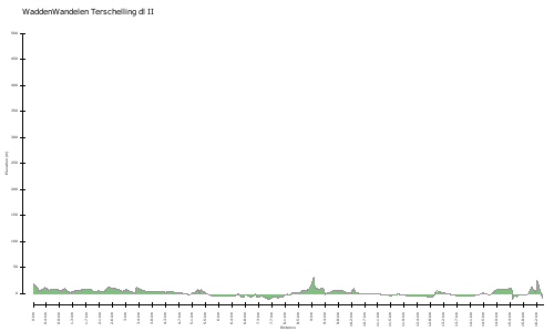
Karte/Höhenprofil
Bilder


Opgenomen vanaf Hoorn.Photos: See all pictures and videos from Mountainbiken Terschelling
Recorded from Hoorn.Photos: See all pictures and videos from VTT Terschelling