MTB Touren
 English
 Italiano
 Deutsch
Routenbeschreibung
The Best option for those who like freerideing or all-mountain biking. I recomend bike with at least 140mm fork. After short downhill from Mte. Baldo just go up direction Rifugio Damiano Chiesa. Enjoy the beautifull view from Mte. Altissimo. After that retract your helmet and have fun by riding on the famous 601 Enduro- trail to Torbole. Take care by crossing an asphalt road. My GPS track goes on Asphalt because of the braking problem. enjoy :)
http://www.gps-tour.info/en/tracks/detail.114475.html
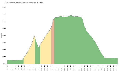
Karte/Höhenprofil
Bilder