MTB Touren
 English
 Italiano
 Deutsch
Routenbeschreibung
Giro della ciclopista del monte Penna (tabelle colore arancio) col gruppo di cicloescursionismo MTB del CAI di Parma
Tour of the cycling path of Mount Penna (orange tables) with the cicloescursionismo group MTB CAI Parma
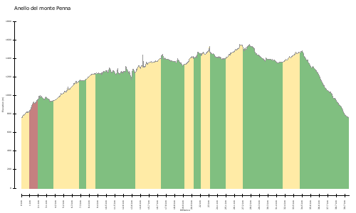
Karte/Höhenprofil
Bilder